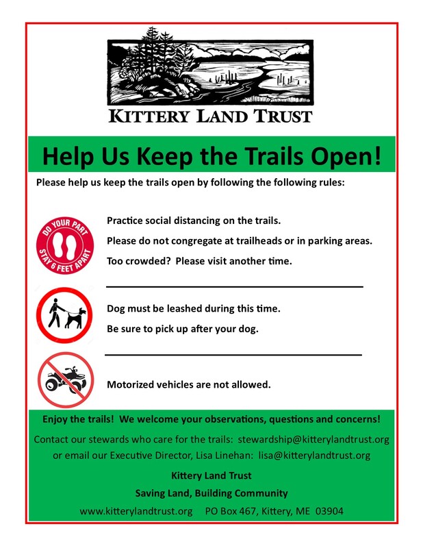
Trail Update (2/1/21): Please observe the following rules while enjoying KLT trails:
1) Practice social distancing on and off trail.
2) Per CDC Guidelines, leashes are required for dogs at this time.
2) Pick up after your dog.
3) Motorized vehicles are prohibited.
We hope you enjoy your time connecting with nature and spending time outside. Thank you to the Kittery Land Trust members for making this possible for our community. Also, we would love to see you enjoying KLT trails. Please share your photos with us! They can be emailed to [email protected].
Be well and stay healthy.
Clayton Lane
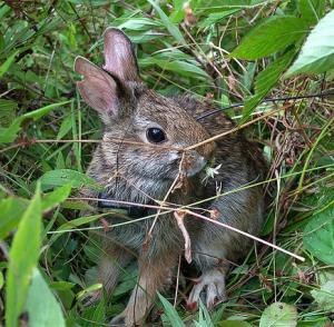
8.5 acres was donated to KLT in 2013 by Josh Abott and James Scully. The land abuts Rustlewood Farm to the north. It consists of brushy, young forest—perfect habitat for the woodcock, endangered New England Cottontail rabbit, and the Maine endangered Blanding’s Turtle—wetlands, and a portion of an old gravel pit, which is off Remicks Lane. Currently there are no trails, and it is a No Hunting area due to the proximity of residential houses. Daytime parking is permitted at the end of Clayton Lane, with space for two cars.
8.5 acres was donated to KLT in 2013 by Josh Abott and James Scully. The land abuts Rustlewood Farm to the north. It consists of brushy, young forest—perfect habitat for the woodcock, endangered New England Cottontail rabbit, and the Maine endangered Blanding’s Turtle—wetlands, and a portion of an old gravel pit, which is off Remicks Lane. Currently there are no trails, and it is a No Hunting area due to the proximity of residential houses. Daytime parking is permitted at the end of Clayton Lane, with space for two cars.
Fairchild
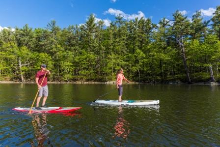
The Fairchild Easement protects the quintessential fir-lined Maine coastal view that people enjoy at the Chauncey Creek Lobster pier across the creek. A small portion of this 17-acre shorefront conservation easement along navigable Chauncey Creek is open via a trailhead at 8 Pocahontas Road, Gerrish Island. To the right of the driveway, look for a small KLT sign. Follow the trail to a lookout over Chauncey Creek. The driveway itself is private, so please park on the road.
The Fairchild Easement protects the quintessential fir-lined Maine coastal view that people enjoy at the Chauncey Creek Lobster pier across the creek. A small portion of this 17-acre shorefront conservation easement along navigable Chauncey Creek is open via a trailhead at 8 Pocahontas Road, Gerrish Island. To the right of the driveway, look for a small KLT sign. Follow the trail to a lookout over Chauncey Creek. The driveway itself is private, so please park on the road.
Seapoint
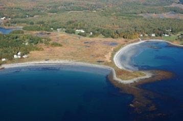
This popular rocky point between Seapoint and Crescent beaches on Cutts Island protects over two acres of grass and shrub habitats. It provides short walking trails and breathtaking views to Nubble Light, the Isles of Shoals, and Cape Ann. Seapoint is a beautiful destination for area bicyclists. Follow Chauncey Creek Rd eastward to Seapoint Rd. to the end. Parking is available along the road, limited in season to Kittery residents with a valid sticker. Follow the beach to the far point where you will find a loop around the point of land at the end of the beach.
This popular rocky point between Seapoint and Crescent beaches on Cutts Island protects over two acres of grass and shrub habitats. It provides short walking trails and breathtaking views to Nubble Light, the Isles of Shoals, and Cape Ann. Seapoint is a beautiful destination for area bicyclists. Follow Chauncey Creek Rd eastward to Seapoint Rd. to the end. Parking is available along the road, limited in season to Kittery residents with a valid sticker. Follow the beach to the far point where you will find a loop around the point of land at the end of the beach.
